Introduction to Google Earth
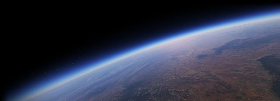
Google Earth is a cutting-edge geographical visualization tool that allows users to explore the planet in stunning detail. With its interactive 3D interface, users can navigate through various terrains, view satellite imagery, and even explore cities from a bird's-eye perspective.
Key Features:
- 3D Visualization: Experience the Earth in three dimensions, providing a realistic view of landscapes and urban areas.
- Interactive Exploration: Users can zoom in and out, rotate the view, and explore different locations around the globe.
- Multiple Launch Options: Google Earth offers various ways to access its features, including Wasm Multiple Threaded and Wasm Single Threaded options for enhanced performance.
- System Requirements: Users are encouraged to check their browser compatibility to ensure optimal performance, with recommendations for using Google Chrome.
Use Cases:
- Education: Ideal for teaching geography and environmental science, allowing students to visualize concepts in real-time.
- Travel Planning: Users can explore potential travel destinations and plan their trips with detailed geographical information.
- Research: Useful for researchers and professionals in fields such as urban planning, environmental studies, and geology.

